


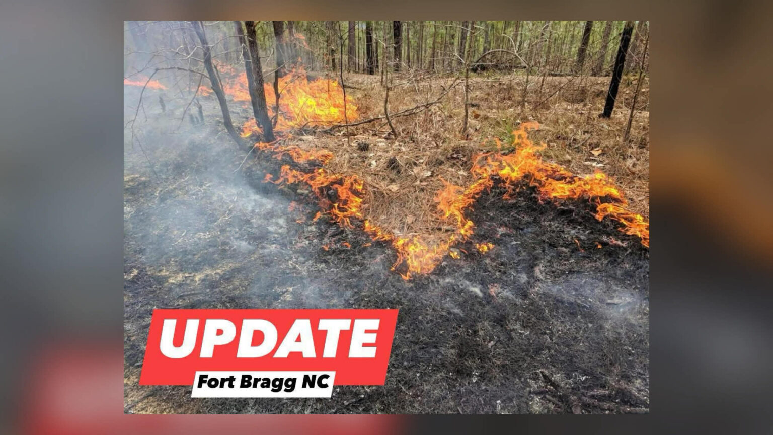
Cumberland County & Harnett County — Fire management teams have scheduled controlled prescribed burns for today, Tuesday, January 20, as part of routine land and wildfire management operations near Fort Bragg. These burns are planned in advance and closely monitored to ensure public and environmental safety.
Target burn areas for today include Owens Drop Zone southeast of Marks Road near the Freedom City area, locations south of Nursery Road and east of North Carolina Highway 87, and areas north of North Carolina Highway 690 and west of McRae Ride Road.
Officials report that weather conditions are favorable for safe burn operations. Wind direction, smoke dispersion, and atmospheric conditions have been evaluated ahead of time to reduce potential impacts to nearby neighborhoods, airports, and roadways.
All prescribed burn locations have been coordinated with Range Control and other appropriate agencies to avoid interference with daily activities or military training missions. Fire crews remain on site throughout operations to monitor conditions and respond as needed.
The public is advised that burn plans may change or be canceled at any time due to weather shifts or operational needs. Smoke visible in these areas today is part of a controlled and authorized process.
Drivers traveling near the burn zones are encouraged to remain alert and use caution, particularly if smoke reduces visibility along roadways.